
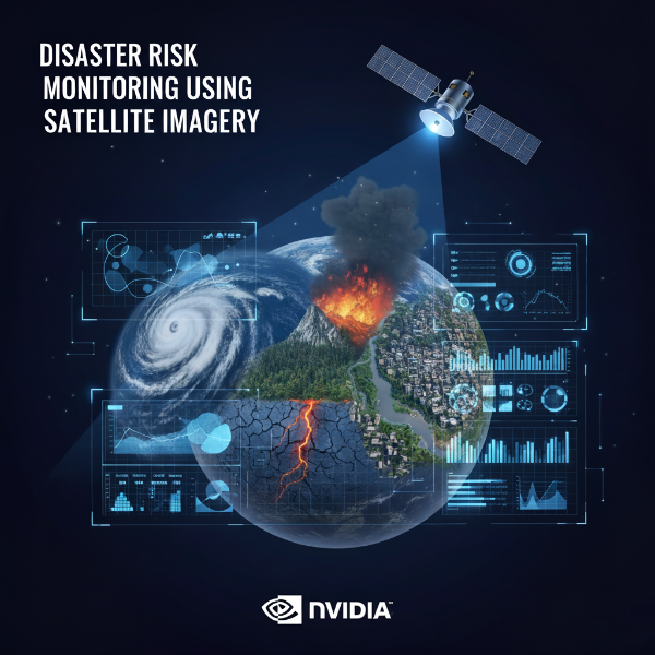
Disaster Risk Monitoring Using Satellite Imagery
This self-paced course by NVIDIA's Deep Learning Institute in collaboration with the United Nations Satellite Centre (UNOSAT) focuses on using deep learning models to detect flood events from satellite imagery. Participants will learn to process large-scale satellite data, apply transfer learning, and implement monitoring systems for disaster risk management.
Who Should Take This Course:
Data scientists, machine learning engineers, and researchers interested in applying deep learning to satellite imagery for disaster monitoring. Basic knowledge of Python and machine learning is recommended.
What You Will Learn:
• Implementing machine learning workflows for disaster monitoring
• Processing large satellite imagery datasets
• Applying transfer learning for deep learning models
• Developing monitoring systems for flood detection
• Deploying models to detect and respond to flood events
Why This Course Matters:
Natural disasters such as floods pose serious challenges globally. Using satellite imagery and AI enables efficient monitoring and response. This course equips learners with the skills to contribute to disaster risk management and protect lives and property.